MountainsAccount

Mountains

Elevation, trail difficulty, and current conditions — for organizers picking a climb and climbers checking before they go.

2,956masl

Mt. Apo

Davao / North Cotabato

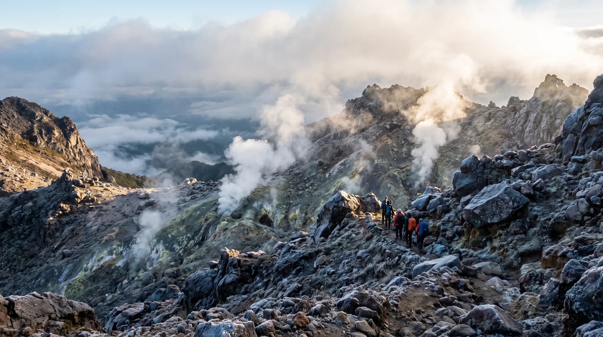
The highest mountain in the Philippines, a dormant stratovolcano with active sulfur fumaroles, waterfalls, and alpine lakes depending on route. Called "Apo Sandawa" (Grandfather Sandawa) by the Lumad peoples for whom it is sacred ancestral ground; first recorded ascent in 1880.

7/9

Best: November–May (dry season), peak season March–May.

811masl

Mt. Batulao

Batangas

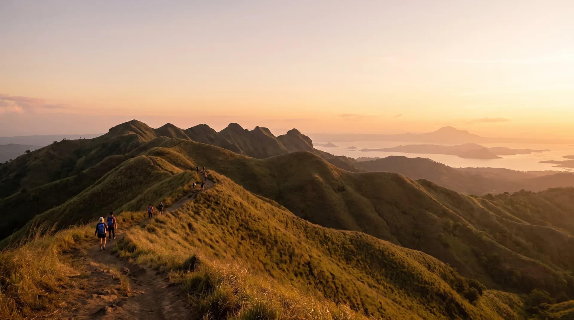
A twelve-peak grassland ridgeline in Nasugbu with views of Taal Lake and Taal Volcano, popular as an easy day climb close to Manila. A Marian shrine at the summit draws pilgrims for a twice-yearly healing devotion.

4/9

Best: November–April (dry season); December–February is coolest with the best visibility.

739masl

Mt. Daraitan

Rizal

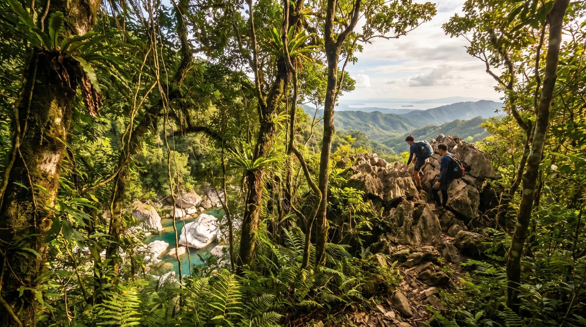
A forest and limestone climb in Tanay with a popular side trip to the Tinipak River's white marble boulders and clear pools. The barangay sits within Dumagat-Remontado ancestral domain, whose elders halted logging and mining in the Tinipak spring area in 1992.

4/9

Best: November–April (dry season, safer footing).

930masl

Mt. Maculot

Batangas

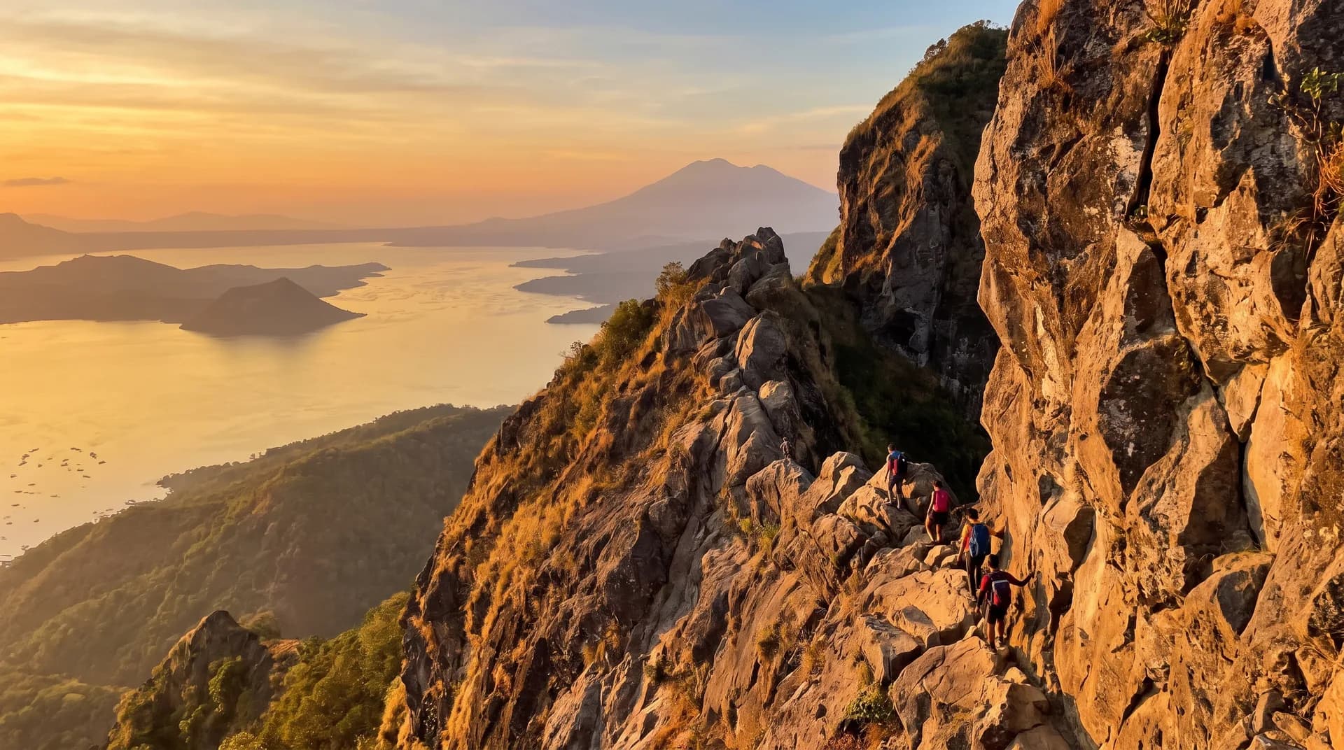
Known for "the Rockies," a roughly 700-meter volcanic rock wall on the rim of the Taal Caldera with sweeping views of Taal Lake, Taal Volcano, and Mt. Makiling. Most climbers stop at the Rockies viewpoint rather than the forested true summit; sacred to both Christian and Animist communities, with Holy Week penance pilgrimages.

4/9

Best: No official season guidance found — expect the heaviest crowds during Holy Week and weekends.

1,486masl

Mt. Pinatubo

Zambales

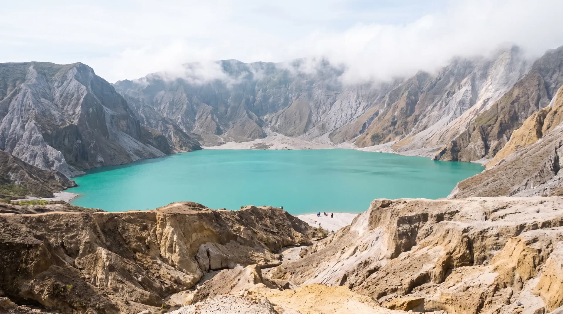
Site of the 1991 eruption, one of the 20th century's most powerful, whose collapsed crater now holds a turquoise lake reached via a lahar-carved riverbed on a 4x4-and-hike route. The area is Aeta Mag-Antsi ancestral domain; swimming in the crater lake is now banned.

2/9

Best: December–February for the clearest crater-lake color; avoid May–September (lahar flood risk).

2,922masl

Mt. Pulag

Benguet

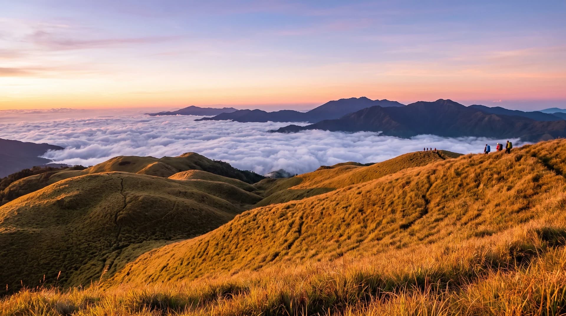
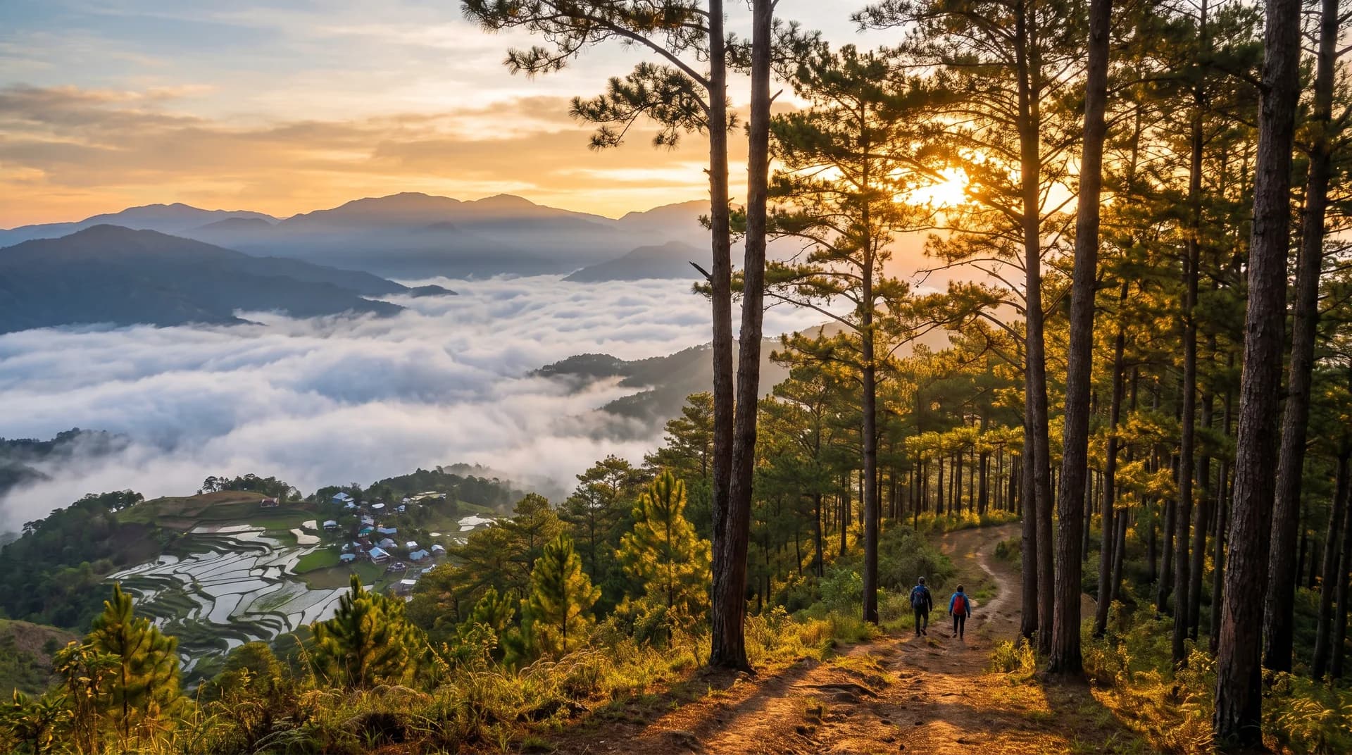
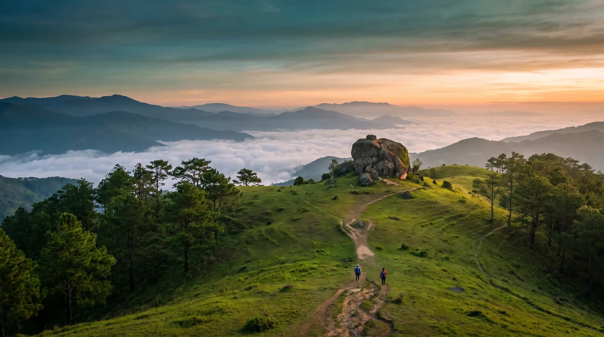
The highest peak in Luzon and third-highest in the Philippines, famous for its "sea of clouds" above a dwarf-bamboo grassland and mossy pine forest. Protected as Mt. Pulag National Park since 1987; jump-offs at Ambangeg Ranger Station (Bokod) and Barangay Duacan (Kabayan).

3–7/9

Best: December–early May (dry season, best for sea-of-clouds views); December–February is coldest.

630masl

Mt. Talamitam

Batangas

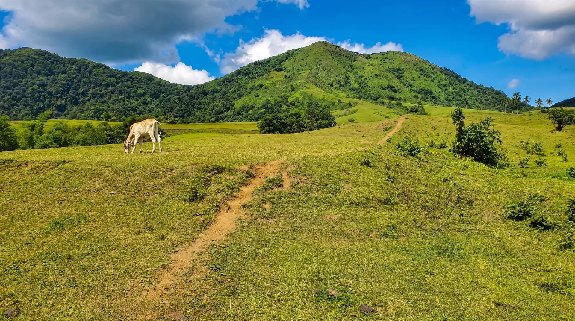
A grassland and rolling-hills day climb near Nasugbu, often paired with Mt. Batulao as a "twin dayhike." The route crosses a river and passes upland farms before a summit grotto with views of Batulao, Makiling, and Pico de Loro.

3/9

Best: November–April (dry season); rainy season (June–October) is discouraged for safety, not banned outright.

Mt. Ugo

Benguet / Nueva Vizcaya

A long ridge traverse between Nueva Vizcaya and Benguet through pine forest, highland rice-terrace villages, and sea-of-clouds viewpoints of the Cordillera. The trail gained hiking popularity partly through its connection to the 1987 PAL Flight 206 crash site on its slopes.

5/9

Best: November–February or February–April (dry season).

1,846masl

Mt. Ulap

Benguet

A grassland and pine ridge in Itogon, only about 40 minutes from Baguio, with panoramic Cordillera views reaching Mt. Arayat on clear days. The trail passes Gungal Rock and the Pong-ol Burial Caves, an indigenous cultural site.

3/9

Best: November–May (dry season); December–February best for sea-of-clouds views.