Batangas
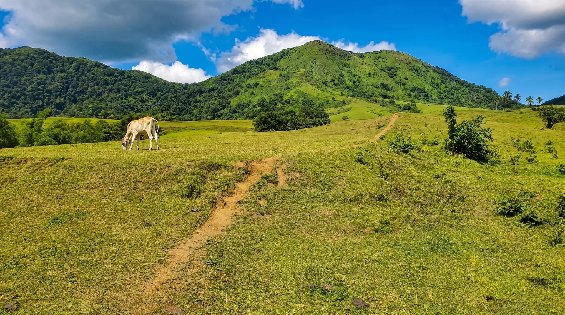
A grassland and rolling-hills day climb near Nasugbu, often paired with Mt. Batulao as a "twin dayhike." The route crosses a river and passes upland farms before a summit grotto with views of Batulao, Makiling, and Pico de Loro.
Best months: November–April (dry season); rainy season (June–October) is discouraged for safety, not banned outright.
Permits: No official DENR/LGU permit process found. Expect a small logbook registration fee and a mandatory guide under a local "No Guide, No Hike" policy.
Your Tropa is still getting live weather ready. For now, check the latest trail reports from fellow climbers below.
Difficulty 3/9 · 1.5–2.2 hrs ascent
No reports yet. Be the first.